The coldest air of the winter is on the way for much of central Canada this week as air from Siberia will cross over the North Pole and then plunge south.
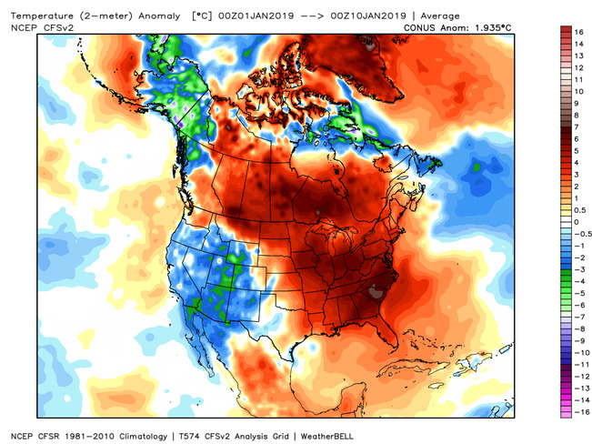
This time the cold weather will stick around longer than it has with the recent shots of Arctic air. The map below shows temperature anomalies from January 28 to February 2.
However, as we head into next week (February 3-9), the frigid pattern will temporarily break down from the Great Lakes to Atlantic Canada. This will likely bring a thaw (above freezing temperatures and rain) to at least parts of southern Ontario and southern parts of Atlantic Canada.

